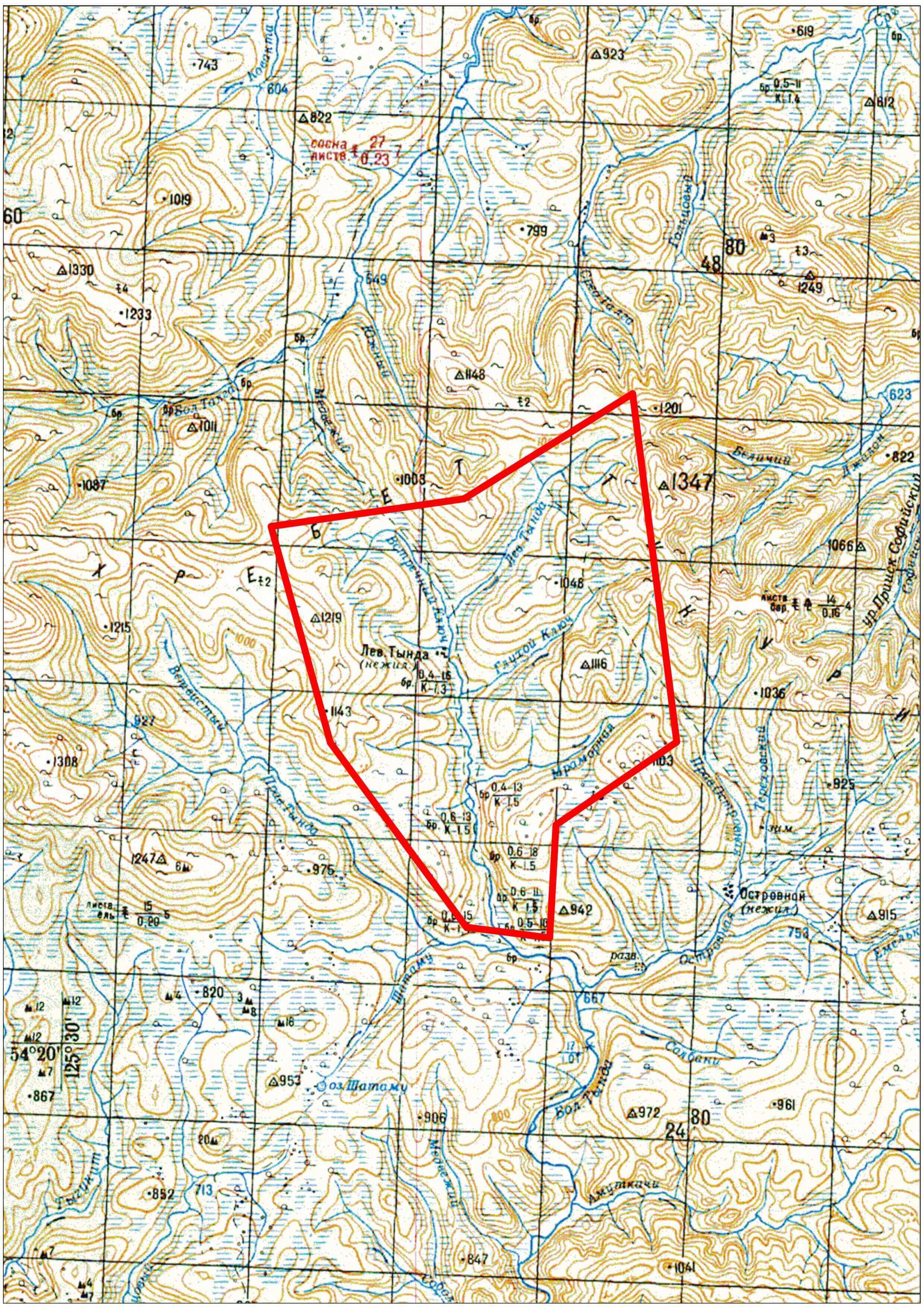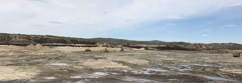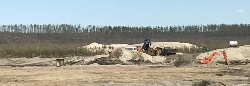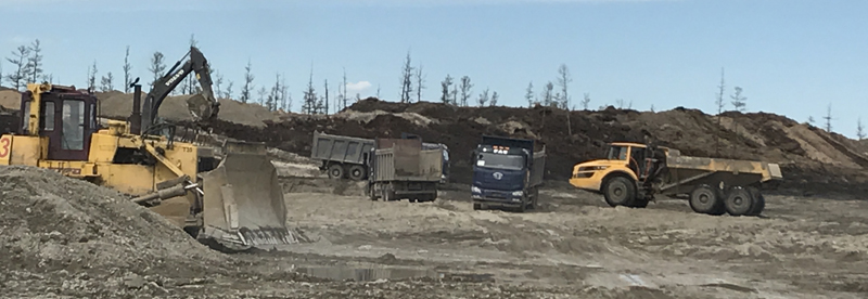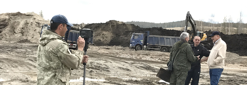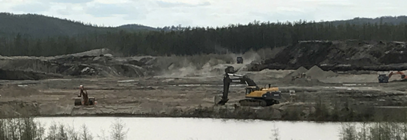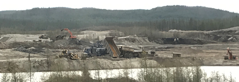
Levaya Tynda placer gold deposit is located in the Zeyskiy district of the Amur region. The property lines of the licensed area enclose the valley of the Tynda Levaya River and the valleys of its left tributaries – the Mramornaya River, the Gluhoy Klyuch stream and its right tributary – the Vstrechnyy Klyuch stream. The Tynda Levaya River starts from the south flank of Tukuringra Ridge. The river water regime depends on the amount of precipitation. The valleys of the stream flows have been affected by permafrost. The climate of the region is extremely continental. The landscape of the licensed area is mountainous with dissected topography. It’s located within the boundaries of the south part of the Dzhagdin-Tukuringskiy anticlinorium.
The licensed area is located within the boundaries of the Far Eastern gold-bearing province, Dambuki gold-bearing region, Mogoktak-Talgin cluster. In terms of the geologic setting, the area is formed by rocks of the Lower Archeozoic metamorphic complex and intrusive formations of the early Proterozoic age. Soft sediments of the modern and Upper Quaternary age fill valleys of the water streams and form a delluvial cover for water-dividing spaces.
Reserves of the placer gold deposit amount to approximately 3,5 tonnes.
Total area – 96,3 sq. km.