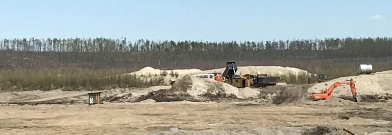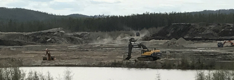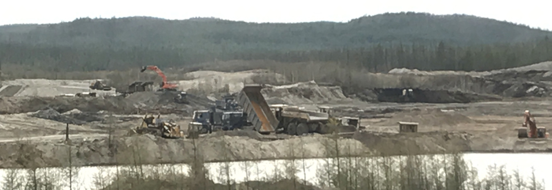
Unaha, Batama placer gold deposit is located in the Zeyskiy district of the Amur region. The property lines of the licensed area enclose the valley of the Unaha River in its underset current, including its right tributaries – the Berendachiha and Tima streams, as well as the basin of its left tributary – the Ilikan River with the Batama stream. The landscape of the area is low-mountainous.
Within the boundaries of the licensed area, the Unaha River has a circuitous course continuing down to 28 km. The valley width is 100-700 meters. The cross-section is box-like. Minor water flows continue down to 5-9 km. The cross-section of the valleys is mostly U-shaped. The valleys of the water streams and wide flat water-dividing lines are swamped. The valley of the Unaha River in the south-east is flooded by the local water reservoir.
The licensed area is located within the boundaries of the Dzhalta-Uldegit gold-bearing cluster of the Dambuki gold-bearing region.
In terms of the geologic setting, the area is formed by granite, subgabbroid, gneiss and crystalline schist of the Precambrian era. In the splits areas of the north-west and north-east strike, the rocks are interstratified and silicified.
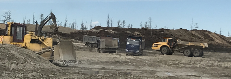
Reserves of the placer gold deposit amount to approximately 4,1 tonnes.
Total area – 85,7 sq. km.