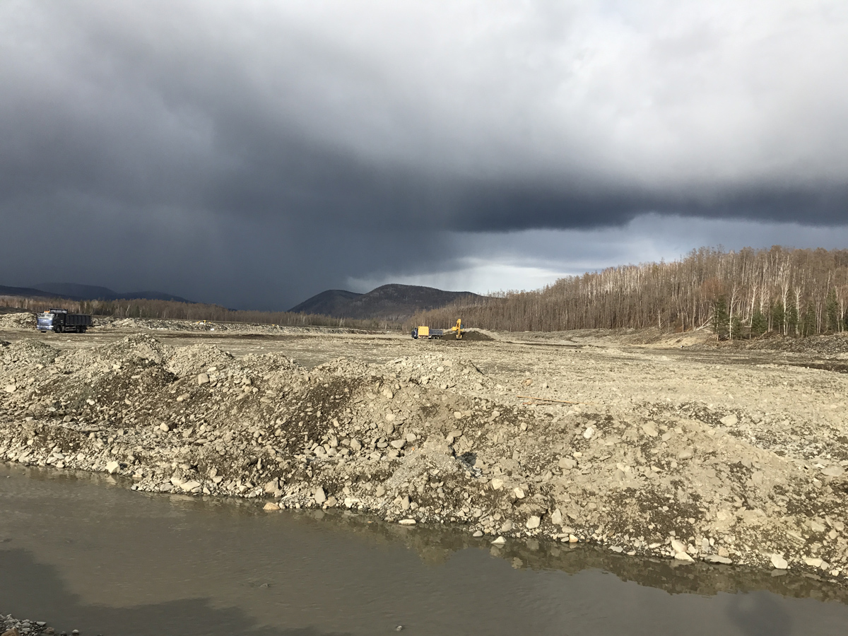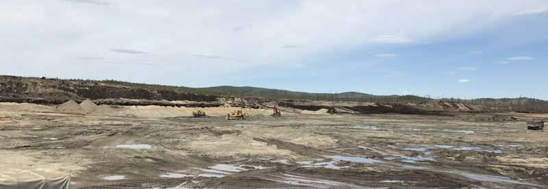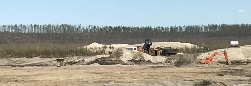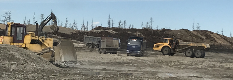
Malaya Tynda placer gold deposit is located in the Zeyskiy district of the Amur region. The property lines of the licensed area enclose a part of the valley of the Malaya Tynda River in its underset current, below the outflow of the Igak stream. The landscape of the area is of medium-altitude mountains, significantly dissected.
The Malaya Tynda River (the left tributary of the Tynda River) continues down to 16,5 km within the boundaries of the licensed area. The valley is deeply incised; the crossline is box-like with abrupt valley sides. The floodplain width is 400-1300 meters. The river has a circuitous course with meanders, multiple cut-offs and distributaries.
The deposit is located within the boundaries of the Igak gold-bearing cluster of the Gonzha gold-bearing region.
In terms of the geologic setting, the area is formed by Paleozoic igneous-sedimentary and intrusive formations of the Amur-Okhotsk fold system. Sericite shales interlayered with greenschist of the Gamarkan suite are broken with diabase and diabase porphyrite of the Middle Paleozoic age. Gabbrodiorites of the Pikan complex form large tectonic blocks and lenses. Fractures and schistosity zones of sub-lateral, north-west and sub-meridianal strike are developed in the area. Development zones of quartz and quartz-calcite lodes with low grades are associated with the schistosity zones. Quaternary alluvial floodplain sediments in the valley of the Malaya Tynda River enclose a placer deposit.
Reserves of the placer gold deposit amount to approximately 4,1 tonnes.
Total area – 19,53 sq. km.