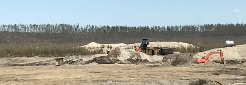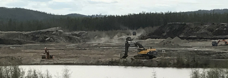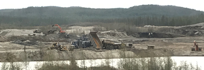
Zhurbanskiy Uval placer gold deposit is located in the Zeyskiy district of the Amur region. The property lines of the licensed area enclose a part of the so-called Zhurbanskiy Uval territory in the Borgovichi-Nogda interfluves. The valleys of the Alekseyevskiy and Krasnoznamyonnyy streams (the tributaries of the local water reservoir) are located here. The landscape of Zhurbanskiy Uval area is gently rugged and wavy, located in the north foothills of Soktahan ridge along the Upper-Zeya sag.
Soft sediments of the Miocene and Pliocene suite (Lower Neo-Pleistocene) – sands, gravels interlayered with clay, and siltstones are common for the area. The sediments are gold-bearing. The buried placer deposit of Zhurbanskiy Uval is confined to it. The gold-bearing deposit of the ancient hydrographic network stretches approximately 15 km from the valley of the Zhurban stream to the Palpaga Malaya River. In accord with the geologic data, the deposit thickness is over 300 meters (taking into account the inclination of the stratum), the vertical system is 120-150 meters. The potential of the lower, middle and upper parts of the deposit section is proved by gold findings on different hypsometric levels. The part of the Zeya River valley, which cuts the Zhurban formation, is indicative of the gold mineralization of the alluvium. Gold grade in the hirsts is much higher and the grain size is bigger as compared to the gold found in the river valley and terraces.
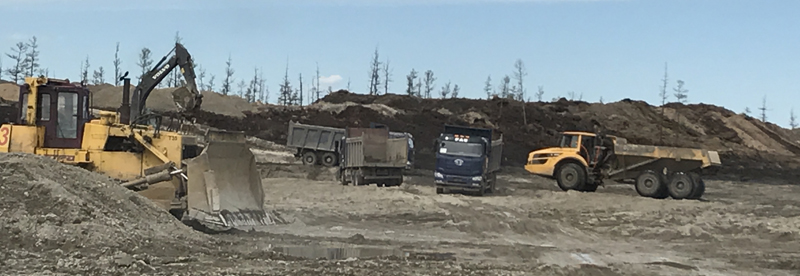
Placer deposits of the Alekseyevskiy, Krasnoznamyonnyy and Alex streams are technogenic.
Inferred reserves of the placer gold deposit are estimated on the basis of the recovered placer deposits of the Alekseyevskiy stream with its tributary, the Alex stream, and the Krasnoznamyonnyy stream, as well as the buried placer gold deposit of Zhurbanskiy Uval.
Reserves of the placer gold deposit amount to approximately 7,1 tonnes.
Total area – 14,72 sq. km.