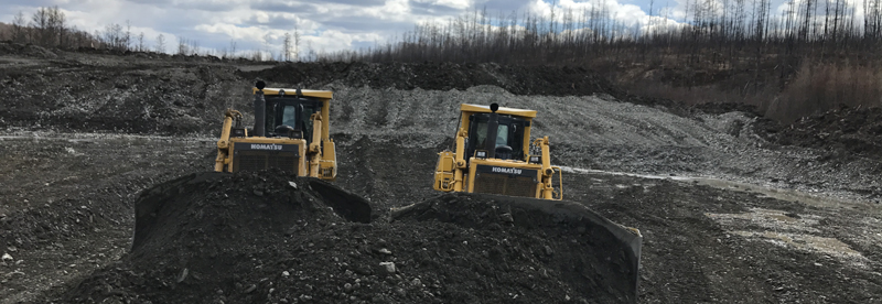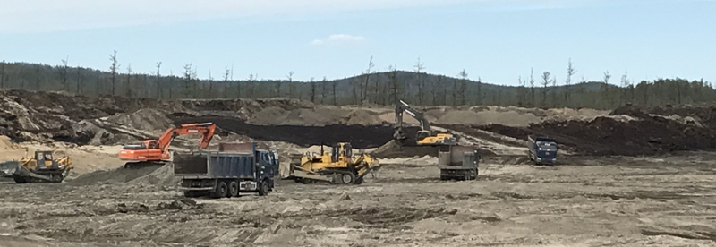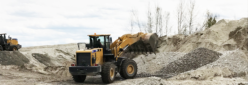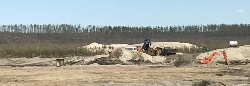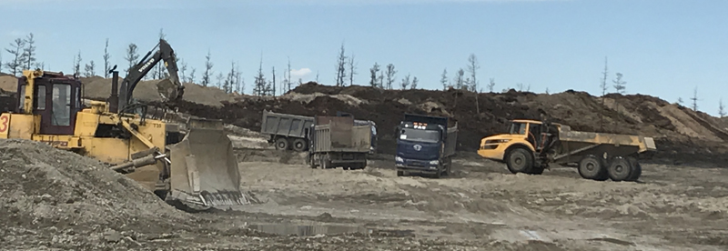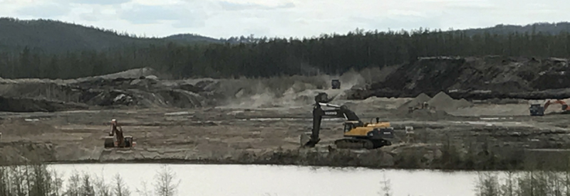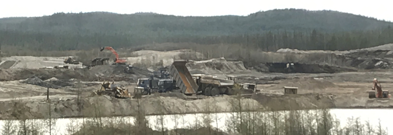
Molchan placer gold deposit with its tributaries – the Nimogin Bolshoi and Vesyolyy streams, is located in the Zeyskiy district of the Amur region. Economy-wise, the region may be considered quite developed. The leading industries are agriculture, forest exploitation, placer gold mining and power generating.
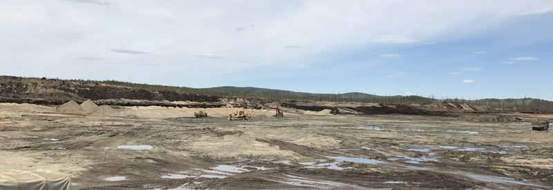
The landscape is mostly bench-like. Wide and flat (up to 2-5 km), swamped water-dividing lines with smooth hillsides (up to 100) gradually turning into valleys are common for the area. Parts of the area which have been formed by Cenozoic sediment are characterized by a moderately split, flat-topped landscape with trapezoid bench-like horizontal section. The floodplain is 100 m-1 km wide, the relative elevation above the floodplain bottoms is 50-150 m. The climate of the region is continental, exposed to monsoon rains. The average annual precipitation occurs from June to September. Seasonal and permanent frost is common (mostly in lowlands of swamped areas). The depth of the active soil is 2-4 meters.
The licensed area is located within the boundaries of the Umlekan gold-bearing cluster of the Zeya-Selemdzha gold-bearing region. In terms of the geologic setting, the area is formed by Late Jurassic and Early Cretaceous terrigenous sediments, covered with igneous and igneous-sedimentary rock of average composition. These rocks form a number of different-scale volcanic fields (Otradnenskoye, Ulunginskoye, Algachenksoye, etc.). Together with intrusive and sub-igneous formations (from moderately persilicic to subsilicic in composition), they form a few volcano-tectonic structures of different scale. Umlekan-Molchan volcano-tectonic structure is considered the largest one with the highest gold grade.
Reserves of the placer gold deposit amount to approximately 2,5 tonnes.
Total area – 134,5 sq. km.